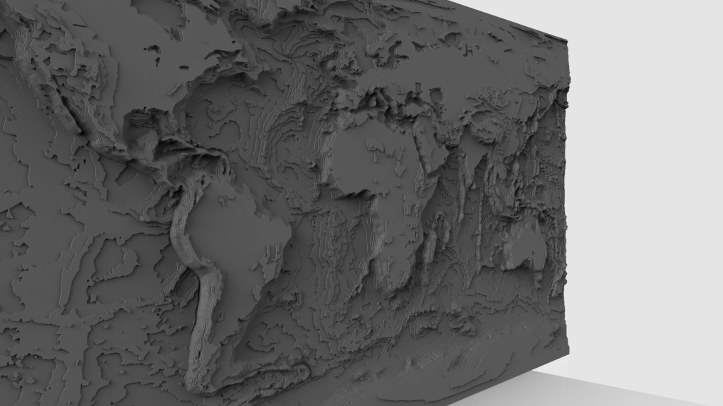
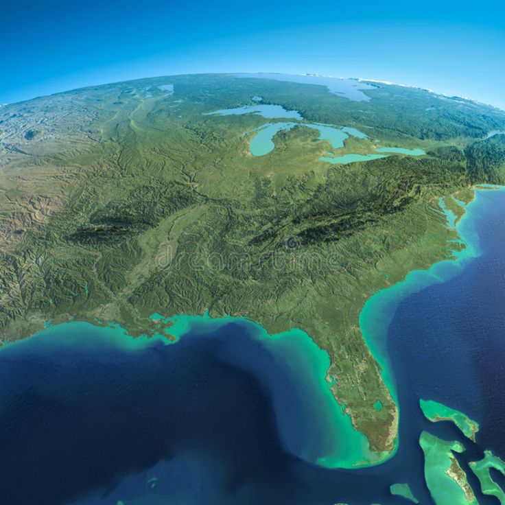
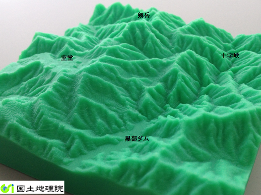
3D print relief map
How to Make 3D Printed Topographic Maps and Terrains – Equator
Skip to content How to Make 3D Printed Topographic Maps and TerrainsMAKE ANYTHING
Making your own 3D printed topographic maps is easy with Equator!
Want to learn how to make your own 3D printed Christmas gifts? Follow this tutorial to learn how!
Image of the Equator online platform
Equator is mapping and design software with thousands of built-in data (like high-resolution elevation data). Equator is used by civil engineers, architects, and designers around the world to find, build, and share topographic maps and designs instantly.
Image of the “Search” menu and Little River, New Zealand
For this tutorial, we picked Little River New Zealand because the topography looks amazing and there is high-resolution elevation data in that area. We were excited to create physical terrain maps for this area.
Image of a dark grey polygon covering Little River New Zealand, indicating high-resolution topographic maps in this area.
Equator includes high-resolution elevation data from LiDAR (accurate to a few centimeters) in parts of Canada, the US, and New Zealand. If you are working in other areas, you can still generate 3D print-ready terrain, but it is created from low-resolution elevation data (accurate to roughly 30 m).
Image showing the site selection window in Equator
When you generate 3D printable files using Equator, we convert data from a LiDAR point cloud into a 3D mesh that can be modified for printing. When you select your site, it lets Equator know what boundaries it should crop your file to.
Image of the “View Now” button in Equator that previews the entire point cloud data
When you click “View Now,” the source LiDAR data points are turned on. This is the detailed lidar scan that we build our topographic maps from!
Image of the topographic Data menu
Image of the printable mesh generation menu
In this step, our goal is to only ensure that that the base of the model is the right thickness. In step 9, we discuss exaggerating the vertical scale of the terrain.
Image of Chitubox software
Image of Chitubox software, changing the Z scale
When creating raised relief maps, it is common practice to modify the vertical (z) scale to customize the look of the map. In areas where the terrain is fairly flat, it is common to exaggerate the vertical scale to better illustrate what the ground looks like. Inversely, when creating beautiful maps of 3D mountains, you may want to reduce the vertical scale.
Image of the “slice” button in Chitubox software
Image of the save button in Chitubox software
Image of the printer menu
Image of the 3D topographic map during the printing process
What will you make with Equator?
Click on your use case below to start building a custom deliverable right now.
Sorry, your browser doesn't support embedded videos.
Contours for CAD
Sorry, your browser doesn't support embedded videos.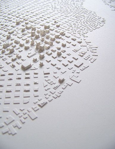
LiDAR Map
Sorry, your browser doesn't support embedded videos.
Concept Plan
Patrick Sapinski2022-08-02T16:12:35-04:00Director at Equator Studios
Page load link3d Topographic Map - Etsy.de
Etsy is no longer supporting older versions of your web browser in order to ensure that user data remains secure. Please update to the latest version.
Take full advantage of our site features by enabling JavaScript.
Find something memorable, join a community doing good.
(1,000+ relevant results)
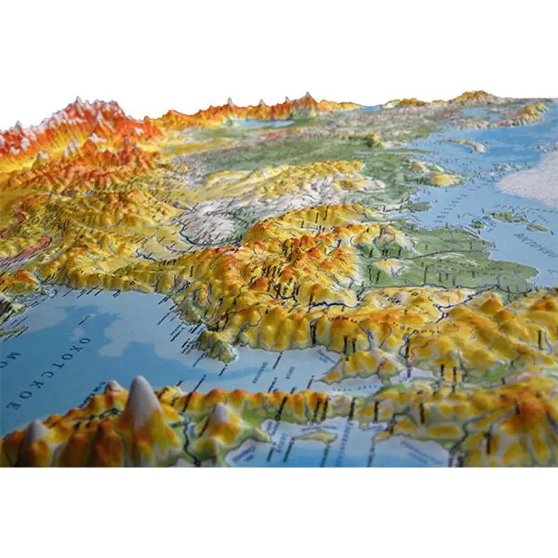
Three-dimensional maps of Russia and other countries of the world.
 3D Mapper
 FAQ. Frequently Asked Questions
Relief cards... What is it?
Relief maps - a relatively new type of representation of the earth's surface, combining the information content of traditional maps and the visibility of layouts. The relief map is based on a digital elevation model obtained by processing satellite imagery and cartographic data. To improve visual perception, the vertical scale on relief maps is increased several times depending on the scale of the map and the terrain. nine0003
How are cards made? What technology is better to choose?
A necessary step in making a map is the formation of a computer relief model. Further, depending on the purpose of the card, its size and the planned circulation, the manufacturing technology is selected. The three main technologies are shown in the table below.
| Technology | Process description | Typical application | Price formation | Duplication |
| 3D printing | A 3D printing job is generated from the terrain model and texture. Printing is done in color with gypsum-like plastic. The advantage of the technology is that the output of the computer model is carried out immediately for printing, which ensures the efficiency and exact correspondence of the model. Printing is done in color with gypsum-like plastic. The advantage of the technology is that the output of the computer model is carried out immediately for printing, which ensures the efficiency and exact correspondence of the model. | 3D printer has limitations on the size of the print chamber (as a rule, horizontally - no more than 50x50 cm). Such cards are used as table souvenirs. nine0015 | The cost of the product is determined by the cost of developing a computer model and the cost of printing the product. Optimal in the manufacture of single copies of small-sized cards (30x30 cm) with the application of customer's objects | Each subsequent copy is created at the cost of 3D printing. |
| Milling | A computer model is used to form a landscape with a 3D router made of MDF or other dense material. The resulting relief is used as a basis for layouts, pasted over with texture films, flock materials, etc. It is easy to attach additional elements to the product - models of buildings, infrastructure, etc. nine0015 nine0015 | The product turns out to be quite heavy, the layout is not applicable for applying photorealistic textures. This option is used as the basis for creating desktop and floor layouts. | The cost of the product consists of the cost of developing a computer model, the cost of milling and the cost of finalizing the product (applying textures and elements). Suitable mainly for desktop layouts (1x1 m and more) | Each subsequent copy costs the cost of milling and the cost of finalizing the product |
| Vacuum formed | A computer model is used to form a landscape with a 3D router made of MDF or other dense material. The resulting relief is used as a matrix for forming a sheet material with a printed map texture. | The product is lightweight, suitable for wall mounting, any texture can be applied (photographs, topographic maps, physical and political maps) | The cost of the product consists of the cost of developing a computer model, the cost of milling, the cost of printing the texture and molding the product. The main labor costs are associated with the combination of relief and texture. Suitable for making wall cards of any size. nine0015 The main labor costs are associated with the combination of relief and texture. Suitable for making wall cards of any size. nine0015 | Replication costs the price of molding and texture application, which is no more than 15% of the cost of the first copy of the product. One form allows you to make several hundred copies. |
Which technology is cheaper?
It all depends on your needs. For example, a 50x50 cm card in a single copy is more profitable to print on a 3D printer, and if you need a print run or card sizes larger than 1 m 2 , then molding is definitely more profitable - you can save an order of magnitude in price. nine0003
In the calculator on the main page, you can calculate the estimated cost of making cards by molding, as well as estimate the cost of preparing a computer model (if you uncheck "Make" - only the cost of preparing the model is calculated). You can also evaluate the impact of circulation on the unit cost of the product.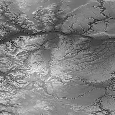
Can I order a map with my own designations - roads, objects, inscriptions, etc.?
Needed! The main advantage of custom-made products is that you will receive a unique product that fully meets your needs. nine0003
What appearance options are available?
Almost any. We offer in the calculator for example the most popular options - a satellite image and a topographic map. The texture can be anything - a physical or political map, a height map, etc.
For maps of large areas (countries and continents as a whole, a federal district, a large region, etc.), the projection significantly affects the appearance. The most popular in our country are the Mercator projection (as on Google maps) and conical projection (as on mass maps of the USSR and Russia)
What are projections? What is the difference?
Our planet is not flat. In order to represent its surface on a plane, various methods of scanning - projections are used. Each projection introduces size distortions relative to the real ones. Which one accurately conveys dimensions? Each in its own range of latitudes. For example, the mercator accurately conveys distances at the equator, but as you move towards the poles, the accuracy decreases. For conical - vice versa.
Do you need to worry about this? No. We will select and agree with you the optimal projection for the map. nine0003
© 2014-2023 3D Mapper, 3D relief maps of Russia and other countries of the world
+7 499 346-66-53, +7 499 380-71-90, [email protected]
Relief map of Mallorca 2022
1 €
Relief map Fiordland Norway 2022
2 €
nine0093 3D relief map of Madeira1 €
Relief map of Kilimanjaro
10 €
Oophaga pumilio Bromeliad leaf 2 2022
2 €
Bromeliads for Oophaga and Ranitomeya species.

10 €
Rhizome for jelly pots
2 €
nine0093 Oophaga pumilio Bromeliad leaf 1 20222 €
3D relief map of Madeira
1 €
Bromeliad double 4
5 €
Drosophila feeding stone Version-2
10 €
Lower part of the anthill-1
10 €
Best 3D Printer Files in Home Category nine0143
Cat Condo / activity scratching Pole repair kit. (For owners of fat cats)
Free
Christmas Bell ornament (with secret compartment)
Free
Toothpick dispenser for birds
1. 51 €
51 €
Pineapple pot for succulents
Free
4 cup carrier
Free
Small Drainer
Free
Nespresso Capsule Holder
Free
little "stone" box.
0.72 €
Bestsellers in the Home category
nine0093 Hanging cat - print-in-place1,47 €
GYRO BEER STAND 2
2.13 €
HAIRY FLEXIBLE GNOME FOR ON-SITE PRINTING
2.38 €
tealight holder ver.b
1 €
Wall shelf "Ostrea Fungus"
2. 40 €
40 €
1 €
Bordeaux, Octopus
2.38 €
Wallet card holder (universal package)
1.29 €
Wall shelf "Amanita mushroom"
2,40 €
Super cute paw pen cup
1.32 €
Clothes hanger "Wolf"
2,13 €
Quick Print Gift/Storage Boxes - Ultimate Collection (Vase Mode)
€5.66 -25% 4.25 €
Waste bin with hinged lid
€3.20
Bear wine holder
2.