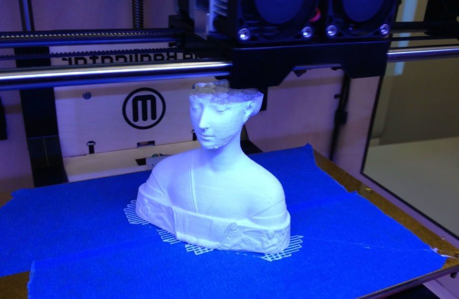
3D print terrain model
Home - Making a 3D Printable Terrain Model
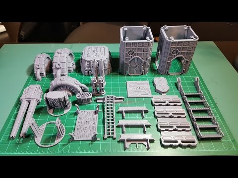
3D Printing Terrain
There are two methods I suggest for printing 3D terrain models: first is using an app and the other is using a plugin (DEMto3D) in the open source software QGIS. Both of these methods produce .stl files for 3D printing.
Recommended software:
QGIS and plug in DEMto3D
For .stl editing:
Meshmixer: a free 3D model editing tool from Autocad
Meshlab: this is another free editing tool, less oriented for printing and more towards making digital 3D models, but very useful for converting between file types
First: The easy method, use an app
- Go to this website: http://jthatch.com/terrain2stl/ (another app that works in a very similar fashion and has better bathymetry capabilities is TouchTerrain)
Here we will select an area for our terrain model. Zoom to a place you want to map or enter your desired latitude/longitude in those fields.
You can then place a box which will be your terrain .stl file. There is no way to change the shape of the box, but we can trim the resulting stl in editing software. The box can be moved/adjusted for size.
Put 2 in the first blank for water drop, and zero in the second for base height (this is a suggestion, default usually works okay too).
Then take a screen shot of your selected place – if you hit the alt key with print screen it will just take a photo of your active window. You can then paste this in a word doc or other program for reference. This will be a reference to orient your final product.
When you have it set how you like, hit Create STL File and then DOWNLOAD. An stl file is a file that can be 3D printed.
Then SAVE FILE. The .stl file will then wind up in your download folder.
- You should find the .stl file in your download folder and move it to a workspace (desktop, whatever). Notice the .stl file name is the Latitude, Longitude, and the Box Size in arc-seconds (an arc-second of longitude equals 30.
 87 meters * 0.6561 (cos 49°) or 20.250 meters). You can rename the file if you want or keep the reference information in the file name.
 - This file is ready for printing - but you will want to test it in Meshmixer for watertightness and make any needed edits.
Second, the more difficult method: QGIS
QGIS is open source GIS software. You can download the software here.
We also have a lib guide with QGIS tutorials and resources.
For this method, you will need to load your own Digital Elevation Model into QGIS. For suggestions as to where to find DEM data, please see the DEM guide.
The steps for this method are as follows:
1) Go to plug ins in QGIS and add the DEMto3D plug in.
2) Load your DEM data into QGIS (Layer -> Add Layer -> Add Raster Data)
3) If you have more than one DEM to include in the model, use the Merge tool to combine them (Raster menu -> Miscellaneous -> Merge)
4) Run the plugin, it will be under the Raster menu labelled DEMto3D.
5) Enter the specifications of the model you want into the plug in. The values in the tool pop up are explained here: https://demto3d.com/en/ayuda/
6) Save and export your model
Generally exports from this tool are ready for printing and do not need editing.
3d Printed Terrain - Etsy.de
Etsy is no longer supporting older versions of your web browser in order to ensure that user data remains secure. Please update to the latest version.
Take full advantage of our site features by enabling JavaScript.
GERMANY Find unique items from around the globe that ship to Germany
(1,000+ relevant results)
3D terrain models - Sovzond
Product 3D-CITY LITE will be especially useful in creating spatial planning schemes, development of telecommunication networks, modeling of natural hazards, and also for terrain visualization on virtual simulators.
The product is the result of high-speed 3D mapping based on stereopairs of ultra-high resolution space images. A fully automatic technology for creating a 3D model of the city is used, which significantly minimizes manual labor, which means the final cost of the product and time costs. Objects (buildings) in the resulting model are separated from each other, unlike most similar products, where automatically generated city models consist of one continuous surface, including buildings, trees and terrain. nine0003
At the request of the customer, 3D models may contain:
Output: A 3D VRML file and a set of images for texturing roofs and facades.
Key benefits:
-
High speed of model creation.
-
Low cost due to minimal use of manual labor of operators. nine0003
-
Photorealistic enough for most tasks.
-
The geometric accuracy of the model corresponds to 2-3 m.

The 3D-CITY LITE product will be especially useful for creating territorial planning schemes, developing telecommunication networks, modeling natural hazards, and also for visualizing the area on virtual simulators. nine0003
The product is intended for companies and organizations working in the field of urban planning, protection of objects and their reconstruction, designing and building various structures, creating virtual simulators, etc.
When creating a product, data from classical aerial photography (or shooting from unmanned aerial vehicles) and laser scanning are used. Data processing is performed in manual or semi-automatic modes (digitizing the contours and structural lines of roofs in stereoscopic mode according to aerial photography data, working with a point cloud using laser scanning data). nine0003
The created 3D models consist of individual objects built with a high level of detail and high measurement accuracy, as well as displaying real building facades.
Output: 3D file in OBJ or SKP format.
Key benefits:
-
High geometric accuracy (the accuracy of the model is commensurate with the geometric accuracy of the source data. The detail of reproduction in the model of small architectural elements is usually determined by the customer). nine0003
-
High realism (real photos of objects are used for texturing buildings).
-
Possibility of modeling of internal premises, for separate objects.
The product is intended for companies and organizations working in the field of urban planning, protection of objects and their reconstruction, design and construction of various structures, creation of virtual simulators, etc. nine0003
Three-dimensional maps of Russia and other countries of the world. 3D Mapper
FAQ. Frequently Asked Questions
Relief cards... What is it?
Relief maps - a relatively new type of representation of the earth's surface, combining the information content of traditional maps and the visibility of layouts. The relief map is based on a digital elevation model obtained by processing satellite imagery and cartographic data. To improve visual perception, the vertical scale on relief maps is increased several times depending on the scale of the map and the terrain. nine0003
How are cards made? What technology is better to choose?
A necessary step in making a map is the formation of a computer relief model. Further, depending on the purpose of the card, its size and the planned circulation, the manufacturing technology is selected. The three main technologies are shown in the table below.
| Technology | Process description | Typical application | Price formation | Duplication |
| 3D printing | A 3D printing job is generated from the terrain model and texture. Printing is done in color with gypsum-like plastic. The advantage of the technology is that the output of the computer model is carried out immediately for printing, which ensures the efficiency and exact correspondence of the model. | The 3D printer has limitations on the size of the print chamber (as a rule, horizontally - no more than 50x50 cm). Such cards are used as table souvenirs. nine0081 | The cost of the product is determined by the cost of developing a computer model and the cost of printing the product. Optimal in the manufacture of single copies of small-sized cards (30x30 cm) with the application of customer's objects | Each subsequent copy is created at the cost of 3D printing. |
| Milling | A computer model is used to form a landscape with a 3D router made of MDF or other dense material. The resulting relief is used as a basis for layouts, pasted over with texture films, flock materials, etc. It is easy to attach additional elements to the product - models of buildings, infrastructure, etc. nine0081 | The product turns out to be quite heavy, the layout is not suitable for applying photorealistic textures. This option is used as the basis for creating desktop and floor layouts.  | The cost of the product consists of the cost of developing a computer model, the cost of milling and the cost of finalizing the product (applying textures and elements). Suitable mainly for desktop layouts (1x1 m and more) | Each subsequent copy costs the cost of milling and the cost of finalizing the product |
| Vacuum formed | A computer model is used to form a landscape with a 3D router made of MDF or other dense material. The resulting relief is used as a matrix for forming a sheet material with a printed map texture. | The product is lightweight, suitable for wall mounting, any texture can be applied (photographs, topographic maps, physical and political maps) | The cost of the product consists of the cost of developing a computer model, the cost of milling, the cost of printing the texture and molding the product. The main labor costs are associated with the combination of relief and texture. Suitable for making wall cards of any size. nine0081 nine0081 | Replication costs the price of molding and texture application, which is no more than 15% of the cost of the first copy of the product. One form allows you to make several hundred copies. |
Which technology is cheaper?
It all depends on your needs. For example, a 50x50 cm card in a single copy is more profitable to print on a 3D printer, and if you need a print run or card sizes larger than 1 m 2 , then molding is definitely more profitable - you can save an order of magnitude in price. nine0003
In the calculator on the main page, you can calculate the estimated cost of making cards by molding, as well as estimate the cost of preparing a computer model (if you uncheck "Make" - only the cost of preparing the model is calculated). You can also evaluate the impact of circulation on the unit cost of the product.
Can I order a map with my own designations - roads, objects, inscriptions, etc. ?
?
Needed! The main advantage of custom-made products is that you will receive a unique product that fully meets your needs. nine0003
What appearance options are available?
Almost any. We offer in the calculator for example the most popular options - a satellite image and a topographic map. The texture can be anything - a physical or political map, a height map, etc.
For maps of large areas (countries and continents as a whole, a federal district, a large region, etc.), the projection significantly affects the appearance. The most popular in our country are the Mercator projection (as on Google maps) and conical projection (as on mass maps of the USSR and Russia)
What are projections? What is the difference?
Our planet is not flat. In order to represent its surface on a plane, various methods of scanning - projections are used. Each projection introduces size distortions relative to the real ones. Which one accurately conveys dimensions? Each in its own range of latitudes.